Q&A: Mark Vandroff, CEO, Fincantieri Marinette Marine

Mark Vandroff, a retired Navy captain and engineering duty officer, was installed last summer as CEO of Fincantieri Marinette Marine, shipbuilder of the U.S. Navy’s Freedom-class littoral combat ship and now the Constellation-class frigate. A former ship program manager, he brings extensive customer experience to his company.
Vandroff was interviewed by Senior Editor Richard R. Burgess. Excerpts follow.
With some experience now as a shipyard official, what has surprised or impressed you about being on this side of the shipbuilding equation?
VANDROFF: Surprised would be a strong word, but I’m impressed by the dedication and hard work of the men and women who build ships. And by “building ships” I mean a very wide range of activity.
One of my mentors, teachers and former bosses, Sean Stackley — the former LPD 17 program manager, former ASN RDA [assistant secretary of the Navy for research, development and acquisition] and now senior executive with L3Harris — used to tell us when he was coaching shipbuilding program managers that if you can build a ship, you can do anything because nothing is harder or more complicated than building a ship, the most complex of all human undertakings. What the government program managers deal with is certainly a complicated process on the government side, but now, with a few months as the head of the yard here in Marinette, it’s an even renewed appreciation for just how complicated and just how many things have to go right to get a ship built, everything from the industrial trades, welding, cable pulling, painting to all of the planning and industrial methods, to the engineering design to the purchasing to the contracting, a myriad of legal compliance for us, and all the finance and economics of a business of that size.
It’s not just running a complicated business, but it’s running a complicated business with a very complicated product and a series of complicated relations both with customers and with sub-suppliers.
What insight has your experience as a Navy ship procurement official given you that can help improve the shipbuilding industrial base?
VANDROFF: When you take someone with program management leadership on the government side and put them into industry you certainly bring an intimate knowledge and understanding of what the customer wants.
Early on in my tenure, some of the folks on my leadership team seemed puzzled during a meeting by something that our primary government partner on the frigate program had asked us to do. Everyone was scratching their heads and were like ‘Why would they want us to do that?’ I said, back in my days in the DDG 51 program, if I were the government PM, I would want us to do exactly what Capt. Smith had just said even though it didn’t necessarily make sense to someone who didn’t have the background of the kind of dynamics that play in at NAVSEA [Naval Sea Systems Command] and within the OPNAV [Office of the Chief of Naval Operations] and Pentagon staff. I immediately understood what the government customer was looking for and I could translate that to my industry colleagues.
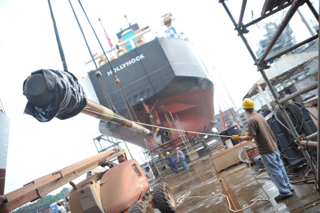
This will sound odd as the head of the Mariette Marine shipyard: One of the things about our current shipbuilding industrial base is that it’s very highly specialized. My yard is highly specialized, given the fact that I’m constrained by the St. Lawrence seaway into the size of ships that I can build. Huntington Ingalls Newport News Shipyard really wouldn’t ever build something small because given the overhead of maintaining facilities to build aircraft carriers. The economics constrain them to build big and for other yards each have their niche. While niches are very efficient and people can get very good at doing their special thing, I worry that the future will require a great deal more flexibility of yards that can do lots of things because the future is always uncertain. This is one of the reasons Fincantieri Marine Group is creating a system of yards across our Wisconsin sites, to continue supporting our customers’ future requirements and missions.

What kind of supply-chain issues currently are of concern to Marinette Marine?
VANDROFF: Supply chain is a hot topic across the shipbuilding industry. Certainly, COVID had a major impact on a lot of our sub-suppliers, mostly in their ability to hold schedule. We’ve seen that across both commodities and finished products especially electronics and anything that has a microchip as a component, but we’ve also seen it in things like switch gear and transformers. Most shipbuilders today rely on a just-in-time delivery system because you want to avoid the warehousing costs of keeping large amounts of material warehoused. One of my top concerns right now is the supply chain impacts we’re seeing.
What capital improvements are in work to get ready for the frigate program?
VANDROFF: We’re making four extensive capital improvement investments in Marinette Marine in order to be able to build the frigate.
Investment No. 1 is in a shiplift. Currently, we build the LCS on land and then introduce it to the water via the time-honored system of a side-launch. We’re not going to be able to stern-launch or side-launch a frigate. It’s too big and we would have to install certain equipment — vertical launch systems, for example — after we side-launched it because of alignment issues. That’s not a very economically efficient way to build a ship.
I would urge you and your readers to Google ‘shiplift’ and look at YouTube, there’s some great videos from around the world. It’s really cutting-edge shipbuilding technology. There’s a transfer platform held in place by, in our case, a set of 58 winches that run attached, 29 on each side, to the platform. You can translate the ship from the land onto the platform, and the winches take tension as the ship rolls onto the platform in order to keep the platform level. And then when you’re ready to put the ship into the water, the winches lower the platform until you get to the point where the ship is then floating from its own buoyancy.
For someone who’s building a ship on the Great Lakes here in the Menominee River floating out into Lake Michigan, the ability to do that with a shiplift is very attractive. The shiplift construction is ongoing and we expect it to complete by the end of 2022.
Right now, we build the littoral combat ships and multi-mission surface combatants in a two-bay erection facility. We can assemble an entire LCS indoors. Building indoors is very important in the Wisconsin winters. That erection bay is not big enough for a frigate. The frigate-size erection bay, Building 34, is nearing completion for May. It will have two bays, each big enough to hold an entire erected Constellation-class frigate.
A new state-of-the-art panel line will be done in a few weeks. This will take steel, cut it into panels, stiffen it up, and then weld it together into modules and sub-assemblies all in one covered area.
We do also have plans sometime early in the frigate process to add to our blast-and-paint capability. When we go to two frigates a year, we will need more blast-and-paint capability and we have a plan to repurpose an old building.
Do you have any plans to increase the size of your force?
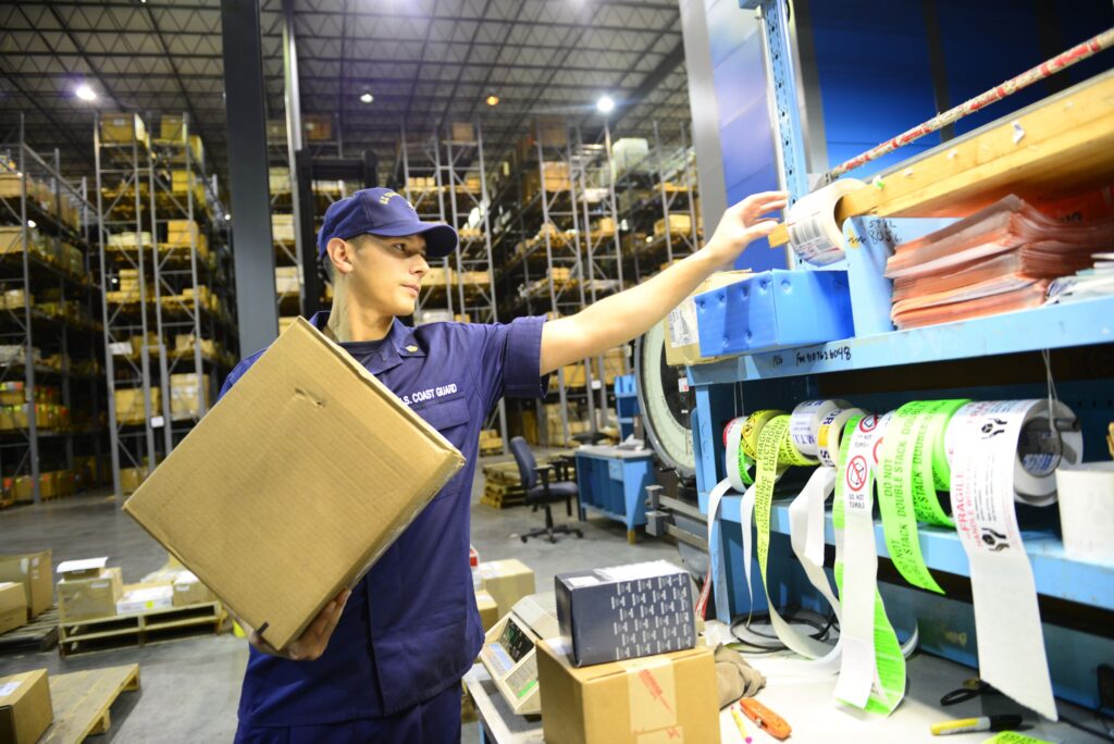
VANDROFF: My No. 1 area of effort is the workforce. I will need to increase the workforce in order to fully man the Navy’s plan for the frigate program. Between now and the end of 2023, we’ll need another 400 workers: about 300 in the trades — welders, painters, shipfitters, electricians — and another 100 engineers and other white-collar workers.
We have a unique concern in the Marinette Menominee area: a missing middle in housing. We pay a nice living wage to our workforce such that they’re thankfully making too much to qualify for low-cost government-subsidized housing and yet there’s high-end housing, especially along the lake and the river and other places where you would see nice homes. What we really could use is more middle-class apartments in the area of Menominee and Marinette. We’ve talked to both states about that and they’re thinking of creative ways of helping the natural market forces respond to that. Right now, we’ve got a lot of folks who commute a fairly long way to get to the yard. What I would really like is the available housing to keep the workforce close to the shipyard so that it’s convenient for the workers to get to the yard. If we provide a convenient place to work, we will be able to attract the workforce we need.
We still have not received formal requirements from the federal government that would cause us to have to mandate that our workforce be vaccinated against COVID-19. We’ve taken steps to provide vaccinations very conveniently and at no expense or time to the employee. We’ve had a reasonably good turnout, but I fear that there is some percentage as yet unknown of my workforce that would just not feel comfortable being told to take a COVID vaccine. We’ll do everything we can to continue to make it convenient for employees to get vaccinated. But if the government lays that mandate upon me, I am very concerned that would have a negative impact on my ability to maintain a sufficiently sized workforce to execute all the work that the yard currently has under contract.
Some shipyards — like Huntington Ingalls for example — have an apprentice training program. Do you have anything similar?
VANDROFF: We do have an equivalent that I’m very excited about that will serve us well in the future and can easily be expanded via the Northeast Wisconsin Technical College [NWTC], a system of technical community colleges in northeast Wisconsin. We have a fabulous relationship with them, and they have gone so far as to hire retired Marinette employees to their faculty. The provide technical training in a variety of shipyard-related skills at their campus, which is within walking distance of the shipyard. They’re teaching welding with our welding procedures, using our welding equipment, so a graduate of NWTC, whether it’s in welding or ship-fitting or electrical work, cable-pulling or journeyman electrician or entry-level electrician, comes out of NWTC work-ready and we can hire them. As we recruit, those students know that they’ve got a guaranteed path to a job with us and a career in shipbuilding. We’ve also reached out to local high schools and their shop programs to encourage the kind of skills set that is useful to us in the shipbuilding industry.
At the white-collar level, the University of Wisconsin Green Bay has reached out to my head of engineering for discussions. They’ve allowed us to shape their engineering curriculum. Someone coming out with a mechanical engineering degree has got an academic background and a skillset that is well-matched to our needs for entry-level engineers.
What is the status of the Constellation-class frigate?
VANDROFF: We’re in the detail design phase. The next big milestone of that phase is the critical design review scheduled for February 2022. I have great teammates on the Constellation team: L3Harris, Gibbs & Cox and Trident Maritime Systems. The Navy has been great. I could not ask for a better partner than the current leadership in PMS-515, and so, that’s a big milestone for us. It’s not the end of detail design but it basically marks the completion of the functional design and shows that we have established the right technical baseline to move forward.
After that, we’ll have a production readiness review in March as we continue to achieve a level of production maturity so that we can confidently start building the ship in April of 2022. That review will show that we have the level of design maturity such that we can start building the ship with the right expectation of ‘measure twice, cut once.’ We don’t want to build a ship to an immature state and then have a significant level of rework because it’s not good enough for either us or the Navy. We’re driving for a very high level of maturity so that we have an efficient start of production in April.
From that point on, we’ll go through all the normal milestones that a ship would have after it starts production — the laid keel, eventual float off, trials — and we’re looking forward to a delivery to the Navy of the first ship in 2026.
Are there challenges to using a foreign-designed hull?
VANDROFF: When you take a design that is not U.S. and translate it to the United States to build, you do run into the U.S. Navy technical standards of performance, which are different than a lot of our partner navies, especially in the area of damage control. That induces modifications to the design. The U.S. Navy’s philosophy and standards are more steel and more frequent water-tight bulkheads for different compartmentation.
We now have the Buy American Act and whenever you take perhaps a piece of equipment that would be sourced from a European supplier and sourced out to a U.S. supplier, there will be design changes with that and that’s, again, something that we’ve accounted for and are executing.
What can the Navy and Congress do to make it easier for you to deliver ships on time and on cost?
VANDROFF: Shipbuilding is really hard. There’s nothing that the Navy or Congress can do to make it less hard. I will say the Navy always helps when they really understand their requirements and that they have stability in those requirements.
I am fortunate in Marinette in my relationship with my Navy supervisor of shipbuilding partner — the organization that does oversight — has been entirely reasonable. They have been very responsible partners. They’re clearly representing the Navy’s interest, but they’re not doing it in a way that is at all punitive or looking to impact my progress. They’re just looking to make sure that the Navy is getting the quality product that they want. For that, I’m very grateful.
If you look at big trends broadly — cost and schedule, but especially cost — a good chunk of our overhead goes to paying the employee healthcare costs. That is getting worse, not better. And that overhead cost gets passed right on to the customer in terms of cost on a contract.
The government has shown some flexibility in the ability for us to have a favorable cash flow. Certainly, COVID helped that, but it helps our financing costs from a business standpoint to have a quicker flow of cash to have a higher percentage of the ultimate cost of a vessel in available progress payments which were done in order to keep the defense industrial base healthy during COVID. Some of those should probably be made permanent, and for a company like mine you would see lower financing costs. Because financing costs make their way into overhead rates, that would then allow us to deliver product more effectively and more cost-effectively to the ultimate customer.