


Richard R. Burgess, is senior editor for Seapower magazine. He is a retired naval flight officer and author of several books on naval aviation.

ARLINGTON, Va. — Saildrone Inc., an operator of ocean-going unmanned surface vessels (USVs), has been selected by Google to collect oceanographic data on the Gulf Stream.
“Saildrone has been selected to receive a grant of over €$1 million ($1.2 million USD) from the Google.org Impact Challenge on Climate to collect data in the Gulf Stream that has the potential to transform weather forecasting and our ability to create more accurate global carbon budgets,” Saildrone spokeswoman Susan Ryan said in a statement to Seapower.
“The Gulf Stream region has a significant impact on weather and climate in Europe and around the globe but is undersampled due to the violent seas and harsh weather in the region,” Ryan said. “These treacherous conditions make it too dangerous to send research ships and crew into the area for extended periods, especially in winter. It is shocking that 70% of the world is covered by oceans, yet only 2% of the ocean has been sampled for critical ocean data.”
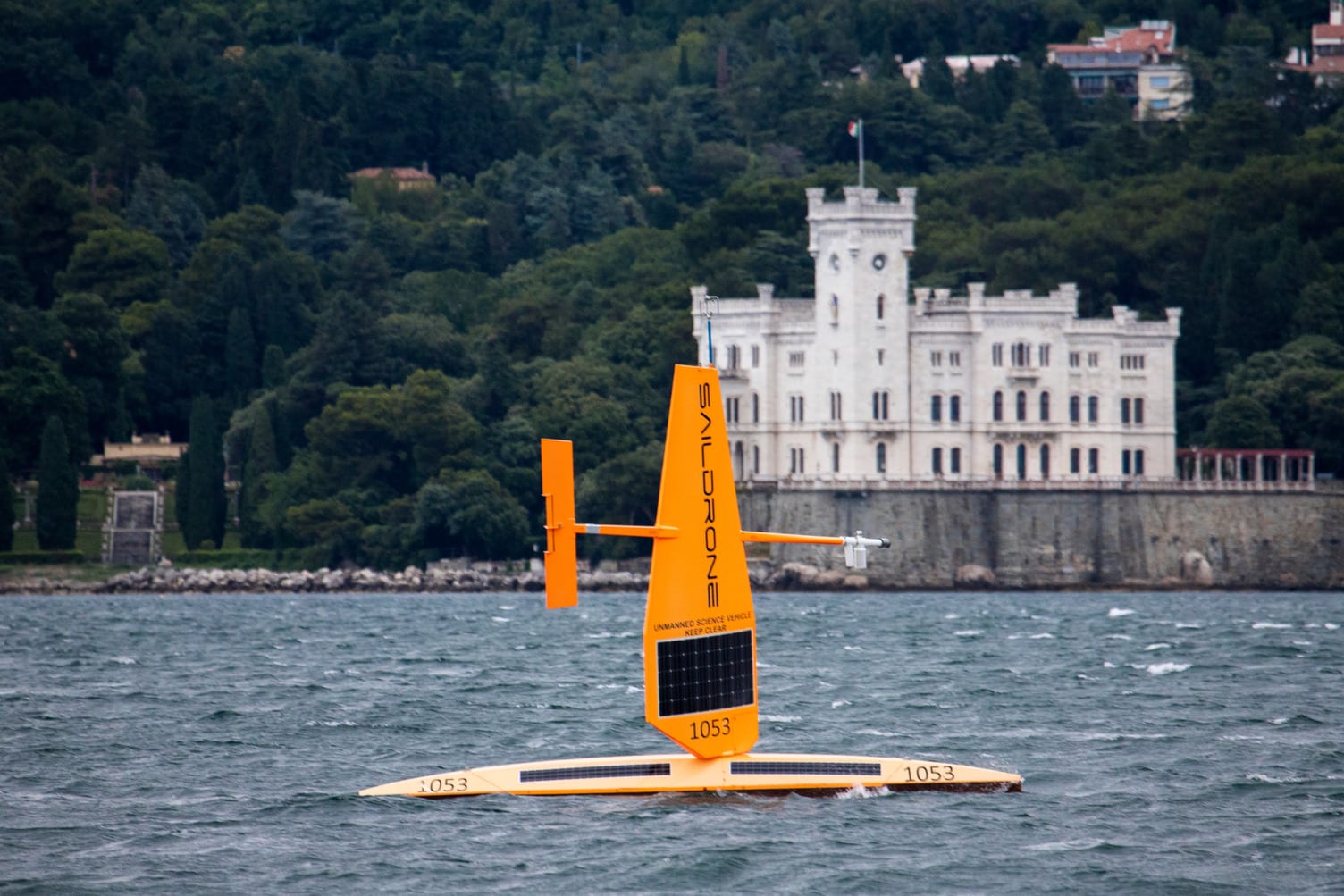
“Saildrone is a company building and operating unmanned surface vehicles that are powered primarily by solar energy, with wind being the primary propellent for the craft,” said Ron Tremain, Saildrone’s vice president for Maritime Domain Awareness during an earlier interview with Seapower.
The Gulf Stream expedition will be conducted by several of Saildrone Explorers, which are 23 feet long and typically proceed at four knots by sail.
The carbon-fiber sail on each is more like a wing than a sail, but it is a sail that can be controlled mechanically and with the wind. Depending on which direction we want it to sail, the operator can make adjustments to increase the speed, decrease the speed, change course direction as needed, Tremain said.
The Explorer, the smallest of Saildrone’s USVs, are fitted with an advanced sensor suite of atmospheric and oceanographic sensors, combined with radar, the Automatic Information System, and a set of electro-optical cameras.
Saildrone will launch six Explorer USVs to spend up to a year continuously collecting critical data in the Gulf Stream while creating no environmental footprint, Ryan said. This mission will collect critical data at a resolution that has not been possible previously, yielding new insights into the transport of heat and carbon around our oceans.